It’s recommended all boaters, no matter what type of vessel or the purpose of their trip, know how to interpret the navigational marks and how to safely navigate them. Australia and New Zealand use the internationally recognised buoyage system known as the International Association of Lighthouse Authorities (IALA) Buoyage System ‘A’, which applies to all vessels at sea. The buoyage system uses navigational marks to help keep vessels out of shallow areas and away from hazards. Boaters can find more information – including about additional special marks – by checking their local maritime authority’s website.
Boating and navigational markers

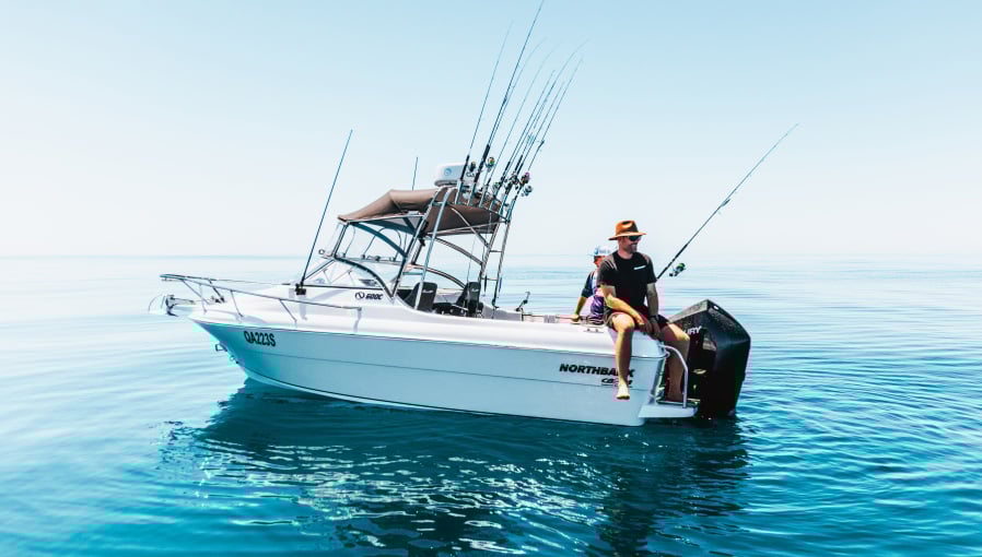
Like traffic lights and road signs that guide drivers, buoys, beacons and navigation lights guide boaters on the water.
- Import
- Important notes:
Important notes:
- Vessel operators should always refer to charts in addition to what they can see on the water
- Marks may be buoys, piles or beacons and can be shaped as cans, cones, spheres, pillars, or spars
- Marks can have a light that flashes in a specific rhythm
- Marks may contain one or more of the identified characteristics
- When numbered, odd number marks are starboard and even number marks are port in the direction of buoyage
- Always maintain a safe speed and keep a good lookout

Lateral or channel marks
- Indicate the sides of a channel
- The lights can flash to a number of rhythms
- Check your marine chart for what’s used locally
- Lateral marks indicate the way into a harbour (upstream), river, or toward a shoreline. When heading in, the red mark is on the port (left) side of the vessel and the green mark is on the starboard (right) side of the vessel. When heading out, the lateral marks will be the opposite way around – green on your port side and red on your starboard. When navigating a channel, always keep to the right-hand side and stay within the lateral marks.

Special marks
- Used when no other mark can be used and indicate a special feature or area
- At night, a single yellow light flashes, but the sequence can vary
Check your local marine chart for the flash sequence and what the special mark indicates. It can include a diving or mooring area, pipe, cables, or it can mark the start of two different channels within a channel.

Safe water marks
Indicate there is safe water all around the mark or beyond that point, such as at the end of a channel (check the local chart for specifics). At night, a single white light shows one long flash.

Isolated danger marks
Indicate a hazard that has navigable water all around it (but don’t pass too close) like a rock or a wreck. A single white light that flashes in groups of two.

Cardinal markers
Cardinal markers indicate a hazard and the direction of safe water as a ‘cardinal’ (compass) direction relative to the marker. They may be used instead of lateral marks where those might be confusing.
- A single white light flashes in groups to indicate the direction of safe water relative to the marker
- 12 (or continuous) flashes: safe water north of the marker
- 9 flashes: safe water west of the marker
- 6 flashes + 1 long flash: safe water south of the marker
- 3 flashes: safe water east of the marker
- The bands, the direction of the cones, and the light’s flash group indicate the compass direction that’s safest to navigate around. An example: a north cardinal mark indicates it’s safest to travel around the north side of the mark. Its cones both point upwards, the bands are yellow bottom and black top, and the light flashes in groups of 12 or continuously.


New danger or emergency wreck-marking buoy
Identifies a new danger or wreck that has not yet been fully surveyed and is yet to receive a permanent mark or be removed. At night, a flashing light alternates between one second of blue and one second of yellow light with 0.5 second of darkness between.
RELATED ARTICLES


Any advice here does not take into account your individual objectives, financial situation or needs. Terms, conditions, limits and exclusions apply. Before making a decision about Club Marine boat insurance, consider theProduct Disclosure Statement (PDS)/Policy Document and Supplementary PDS (if applicable). Where applicable, the PDS/Policy Document, Supplementary PDS and Target Market Determination (TMD) for Club Marine boat insurance are available on this website. We do not provide any form of advice if you call us to enquire about or purchase a product.
Club Marine Limited (ABN 12 007 588 347), AFSL 236916 issues Club Marine boat insurance and handles and settles claims as agent for the insurer Allianz Australia Insurance Limited (ABN 15 000 122 850) AFSL 234708 (Allianz). Club Marine Limited is a related body corporate of Allianz. Copyright © 2026 Allianz Australia Limited.