The Bureau of Meteorology (BOM) issues coastal waters and high seas forecasts that are as easy to access as picking up your phone. But an app is no substitute for sound judgement, and by understanding what drives weather in your region you’ll be able to make far more prudent decisions to keep you and your crew safe.
How to understand weather forecasting
Chris Bell
How wind works

All of Earth’s weather starts with heat from the sun that warms the air around the equator. Our atmosphere is technically about 600km high, but about 75 per cent of its mass is contained closest to us, in the troposphere where we go boating and fly airplanes.
The troposphere’s height varies between about 12km at the equator, to only about 6km at the poles. As this air is warmed in regions along the equator, it rises to the top of the troposphere, gaining density as it cools. It then falls back down to earth, moving northwards and southwards.
Pressure zones

The region underneath the warm rising air is an area of low pressure and typically contains more moisture and is a less stable environment, while the region underneath the cooler falling air is an area of high pressure, and is typically a drier, more stable environment.
What is gradient wind
At sea level, this rising and falling air causes areas of convergence or divergence, depending on whether a low- or high-pressure system is at play. In an area with low pressure, the surrounding air is sucked in while, under areas of high pressure, falling air hits the earth’s surface and spreads out.
Now let’s add in the rotation of the earth which, in the southern hemisphere, causes this falling air to rotate counterclockwise, and rising air to rotate in a clockwise movement. In the northern hemisphere, the rotation is opposite. This tendency for air masses to rotate is caused by the Coriolis Effect, which increases the further you travel away from the equator.
Air moving from an area of high pressure to an area of low pressure over these large areas is called gradient wind. A Mean Sea Level Pressure (MSLP) analysis map, which joins areas of equal pressure using lines called isobars, gives us a general picture of the gradient wind direction and various wind strengths in any given area.
Air only travels down these pressure gradients, from high pressure to low pressure at sea level, with no exceptions. Just as a ball can’t roll uphill, wind can’t blow up a gradient from a low to a high.
What is local wind
Morning land breezes and afternoon sea breezes are examples of local wind. These are caused by local temperature differences between land and sea, and don’t extend very far offshore, where the gradient wind will dominate.
Local wind might also be generated by thunderstorms and line squalls. Being local, short-lived and quite contained in one area, local wind can’t be represented on an MSLP weather chart.
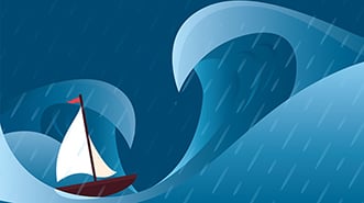
How wind creates waves
All wind – gradient or local – creates waves. A critical factor determining the size of these waves is the distance over a body of water that this wind can act to build a sea state. This distance is known as its fetch and, as a rule, the longer the fetch, the bigger the waves.
Swell is independent of local wind effects, such as the wind that you feel on your cheek at the time. The wind that you can feel generates sea waves. These are short wave length, slower speed waves that, despite travelling more slowly, come with higher frequency and with steep faces that can present a greater threat to a boat in deeper water than swell waves.
The combination of sea and swell is referred to as sea state.
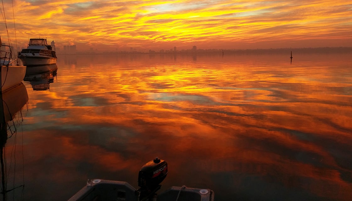
Checking the barometer
One of the most ignored items of wheelhouse equipment these days is that shiny thing on the bulkhead called a barometer. A barometer can tell you the direction and rate of change of atmospheric pressure – that is, the pressure gradient. The faster the drop in pressure, the more you should pay attention as this means potentially stronger winds and therefore an increased sea state.
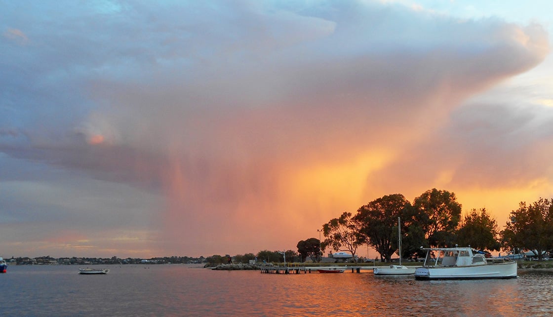
Why do thunderstorms form
Thunderstorms often form after a hot and humid day. The BOM will only issue warnings about these when wind gusts of 90km/h or more are expected, or when it comes with large hail and possible tornadoes or waterspouts.
Despite their severity, thunderstorms are often short lived and their location hard to predict. Yachts should consider grounding their mast and stays to the water to mitigate the real risk of a lightning strike, and all boats should be well secured with loose items stowed below deck before one hits.
Local weather patterns
Different coastal regions of Australia experience weather effects that are characteristic to those areas. Across northern Australia, reliable southeasterly trade winds prevail for most of the year. These blow off the land in the northwest of WA, and onshore in northern Queensland.
Here’s what happens when high-pressure systems move into the Tasman Sea on their regular journey from west to east: they extend an elongation called a ‘ridge’ along the north Queensland coast that can accelerate the trade winds significantly, whipping around the tight isobaric curvature at this point.
In the wet season (October to April), the equatorial lows move southwards, bringing hot and humid northerly winds associated with the monsoon trough, and increased water temperatures. The weather drivers these produce include daily afternoon thunderstorms, line squalls and tropical cyclones.
In southeastern Australia, cold fronts carried by the low-pressure systems to the south of the continent bring very regular bursts of short, sharp rain and wind events. That is, cold and dense air masses travelling westwards meet slower moving regions of warm air, wedging them upwards to release their moisture and creating unstable, blustery conditions.
Ahead of these cold fronts there will often be hot, strong winds blowing off the land from the northwest that rapidly increase before backing suddenly to the west as the front arrives. This weather driver is known for creating extreme fire risk throughout western Victoria and eastern South Australia ahead of a cold front arriving.
Southerly busters
Off the NSW coast, line squalls known as Southerly Busters are common as these fronts move through. Off the southern Queensland and the entire NSW coast, East Coast lows can occur all-year-round. These form when an isolated cold-air mass in the upper atmosphere interacts with the warm East Australian Current.
East Coast lows can resemble a tropical cyclone on radar or satellite images, with wind speeds comparable to a Category 1 cyclone, but they are not related to cyclones at all and, in fact, form differently. The south side of these systems is the most violent.
In mid-to-southwestern WA, the most famous weather influencer is the Fremantle Doctor. Don’t be fooled by the word ‘breeze’ as the Freo Doctor regularly exceeds 30 knots and can hit like a freight train.
Despite its nickname, this sea breeze extends well south of Fremantle and right up the coast past Geraldton. As a rule, the earlier it arrives, the harder it will blow.

BOM’s online tool MetEye helps you visualise local weather observations and forecasts for any location in Australia, including wave forecasting. Go to: bom.gov.au/australia/meteye.
A FULL REVIEW OF ‘WATCHING THE WEATHER’ RAN IN THE FEBRUARY-MARCH (40.1) ISSUE OF CLUB MARINE MAGAZINE.
RELATED ARTICLES


*Terms and conditions apply
Any discounts offered are applied to our standard rates. Promotional or other discounts may apply from time to time. Minimum premiums may apply. Any discounts/entitlements only apply to the extent any minimum premium is not reached. Where discounts are applied, your premium is subject to rounding. If you are eligible for more than one, we also apply each of them in a predetermined order to the premium (excluding taxes and government charges) as reduced by any prior applied discounts/entitlements.
Any advice here does not take into account your individual objectives, financial situation or needs. Terms, conditions, limits and exclusions apply. Before making a decision about Club Marine boat insurance, consider theProduct Disclosure Statement (PDS)/Policy Document and Supplementary PDS (if applicable). Where applicable, the PDS/Policy Document, Supplementary PDS and Target Market Determination (TMD) for Club Marine boat insurance are available on this website. We do not provide any form of advice if you call us to enquire about or purchase a product.
Club Marine Limited (ABN 12 007 588 347), AFSL 236916 issues Club Marine boat insurance and handles and settles claims as agent for the insurer Allianz Australia Insurance Limited (ABN 15 000 122 850) AFSL 234708 (Allianz). Club Marine Limited is a related body corporate of Allianz. Copyright © 2026 Allianz Australia Limited.